Importing an Horizon profile |
  
|
Importing an Horizon profile |
|
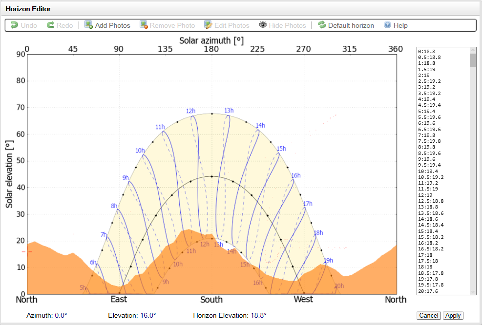
The horizon profile may be defined manually by a set of (Azimuth/Height) points in degrees. These may be from on-site measurements (using land-surveyors instruments like compass and clisimeter).
They can also be imported from several sources:
·Solmetric SunEye instrument. This is a computerized instrument using a fisheye-type camera for the recording of the environmental masks. (www.solmetric.com, www.soleg.de). It provides an horizon height for each degree of Azimuth (i.e. 360 points).
- The software produces several files, one of them being a specific file for PVsyst, named "Sky0x_PVsyst.hor". Don't use this file, it was designed for the old PVsyst version 4.xx, and is restricted to -120 to +120°.
- You should choose the file "ObstructionElevation.csv" file instead. Since Version 5.0 PVsyst has been updated for importing this file in a clean way, by taking the highest height among 3 azimuth points, therefore reducing the data to 120 points from -180° to 180°. This resolution is far sufficient for the hourly computations of PVsyst.
·Carnaval is a free open source software, which may be downloaded from incub.energie.free.fr.
It is based on a geo-referred grid for calculating the horizon line at any place between longitudes 6°W to 10°E, and latitudes 41° to 52° N, therefore largely covering France, East of Spain, etc. It uses satellite data from the spatial US programme SRTM (Shuttle Radar Topography Mission), giving a grid of altitudes with a 3'' resolution (about 92 x 65 m).
When using Carnaval (V 0.7 or higher), you should:
| - | choose the Lat-Long WGS84 coordinate system (GPS compatible); you can identify the exact coordinates of your system by using GoogleEarth. |
| - | don't use the "near environment definition". The near obstacles - which produce partial shades on the PV field - should be defined in the "Near shadings" 3D tool in PVsyst. |
| - | compute the horizon line, and then define your "simplified" horizon by following the line with the mouse. The exported values will only be the green points which you have defined here. |
| - | press the button "export the simplified line". The choice of the Azimuth scale doesn't matter as PVsyst will recognize any chosen option. |
| - | export/save as a text file. Carnaval will add ".masque.txt" to any text you type here. Therefore the final name will hold a point before "masque", which is not accepted in PVsyst. You should rename the file in order to eliminate the forbidden characters, i.e. the point before use in PVsyst. |
| - | Now your file is ready for direct import in PVsyst. |
·The Meteonorm software produces Horizon
profiles, which you can also import in PVsyst. The filename of
these profiles holds the exact coordinates of the site
evaluated.
·The free service PVGIS (http://re.jrc.ec.europa.eu/pvg_tools/en/tools.html#)
provides worldwide horizons. This service has been integrated in
PVsyst (requires an active internet connection). Simply choose
"PVGIS Horizon From WEB" and press the "Import from PVGIS web"
button.
·The SolarGis tool
pvplanner, if you have bought monthly meteo files from
SolarGis (Imaps/pvplanner).
- select the site, go to 2pvPlanner
- click on "click to modify horizon" (bottom left)
- copy the colums on the right
- past them in a text editor and process them further as a .HOR
(see below Your own profile as a
file)
·Horiz'ON software: this is to be used in conjunction with a specialized support for your Photo Camera, which allows to take several photographies with an horizontal reference (every 20° in azimuth), and gather them as a single panorama on which you can draw the horizon line by mouse (cf www.energieburo.ch/web/produkte/horizon ).
This produces a file with extension *.HOR, which is directly readable in PVsyst.
NB: when established using a georeferred grid (like Carnaval or Meteonorm), the exact location should be
carefully defined. This may be determined using GoogleEarth or a
GPS. Please keep in mind that a degree in latitude is 111 km, a
minute is 1850 m and a second is 31m.
·Your own profile as a file: to be recognized as a valid horizon profile, you can also provide any text file with the following characteristics:
- ASCII file with comma, semicolon, TAB or space separator (for example a CSV file from EXCEL).
- First line may be a comment.
- One line per defined point. Each point defined as an Azimuth and a Height value, expressed in degrees.
- If your file extension is .CSV, choose "Standard CSV file" and select your file for import
- If your file extension is .HOR it can be placed in the directory \Data\Shadings\ of the PVsyst data structure and used as a PVsyst internal file.
- Lines starting with # will be ignored.
For example, a horizon file edited in EXCEL with first column as Azimuth and second column as Height, saved as "*.CSV", will be valid.